WASSP Multibeam Sonar
Using a high resolution multibeam sonar, Ocean Dynamics can generate accurate bathymetric maps of coastal areas for many different applications.
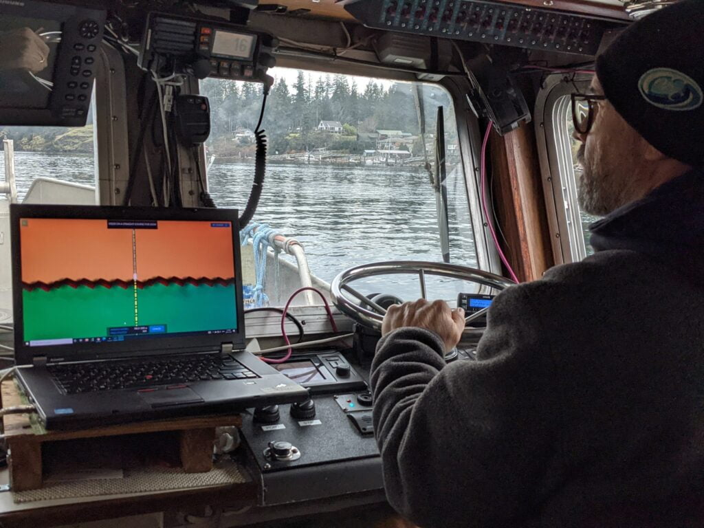
Hardware and Software
The Ocean Dynamics WASSP S3 package is capable of subsurface contour (bathymetric) multibeam mapping up to 300m ocean depth. Working in parallel with a high resolution DGPS and other navigation equipment, we can produce maps with a resolution of up to 5m ± 5% depth, meeting IHO standard Order 1a.
The adjustable-frequency 120-200kHz multibeam sonar has an adjustable beam width to optimize surveys based on depth. The sonar head is also tiltable, allowing inspection of cliff faces and other vertical features such as hydro dams or breakwaters. Nearshore limits will be dictated by water depth and vessel draught.
The WASSP 1320 system is a modular multibeam package consisting not only of a multibeam sounder, but also a suite of other navigation sensors and hardware. Together, these instruments create a complete picture of the seafloor.
Designed to be modular, the sensors can be switched out to exactly meet a client’s requirements. Where lower cost is important, our standard suite of sensors can be used to generate a high-resolution map sufficient for anchoring design, feature detection, or cable route planning.
Part of Our Complete Survey Package
We use our multibeam system as part of a full suite of survey instruments, allowing delivery of a detailed survey package. Our Simrad MX575D DGPS give sub-metre positional surface accuracy, and our Furuno IMU-038 motion sensor detects vessel attitude to within 0.5°. All GPS related work is carried out to the BC Resource Inventory Committee (RIC) standards for GPS surveys. Generating bathymetric maps of an area allow targeting of specific subsea areas for subsequent ROV surveys. Finally, sediment samples in desirable areas allow clients to have a complete understanding of the seafloor beneath them.
