OCEAN DYNAMICS SERVICES
Ocean Dynamics provides marine survey services and is actively supporting inshore and offshore ocean exploration and scientific communities.
- Aquaculture
- Fisheries
- Oil and Gas
- Forestry
- Government – Municipal, Provincial, Federal
- Mining
- Science
- Hydro, Dams, Transmission
- Search and Recovery
- Insurance
- Aquaculture Compliance Monitoring. Government (AAR) and Aquaculture Stewardship Council (ASC) certified for data collection, analysis and reporting
- Habitat Information Requirements (HIR)
- Baseline Environment Assessment
- Environmental benthic monitoring to AAR and ASC standards
- Underwater video by remote operated vehicle (ROV) or scuba divers to provide photos and videos of seabed including data analysis and reporting
- Oceanographic Sensors. Design, deployment and implementation
- Water column sampling
- Science Research/Transect Surveys/Species ID/Light Duty Collection
- Instrument deployment and recovery
- Cable lay and inspection
- USBL Navigation Suite with Data Logging and Processing
- Anchoring System Inspection
- Outfall, Cable, Gas Pipeline Inspection
- Hydro Dam, Trash-gate and Pen Stock Inspection
- Wreck Inspection/Archaeological Survey
- Search and Recovery
- UXO Search and ID
ROV imagery surveys, along with the geophysics survey (subcontracted through Ocean Dynamics), can support engineering design, geotechnical interpretation and biological baseline surveys to support the Environmental Impact Assessments. The capabilities summarized above are equally applicable to construction and post-construction surveys and assessments.
Underwater surveys for structural integrity and general condition analysis of floating and fixed structures. Anchor inspection, Outfall inspection, Hydro Dam inspection, debris survey and debris removal can be carried out in a timely and efficient fashion using the combination of ROV, Divers and USBL tracking software.
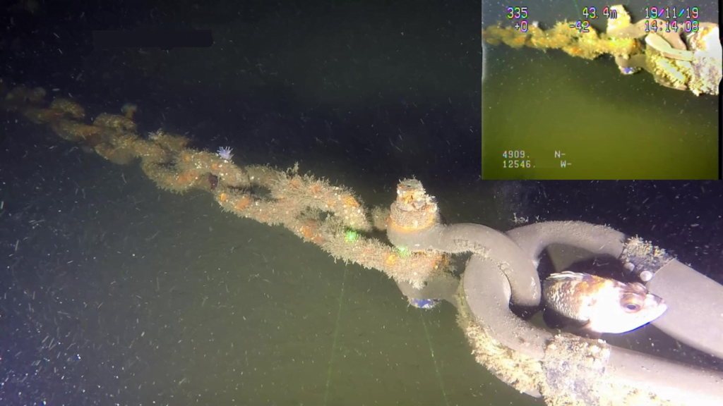
HD Video with SD Video/Overlay inset
Provide and support a variety of acoustical and mapping programs. Can provide mapping products with detailed georeferencing of bottom habitat, features and infrastructure. Contact us for more details.
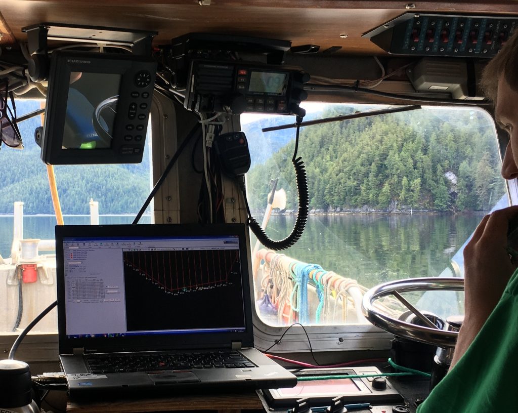
Navigation and Logging Software in use
Using the latest in 3D modeling software, ODI engineers can design, build, test and implement custom designs in house. We work with science and/or engineering groups to integrate a variety of technologies onto underwater systems.
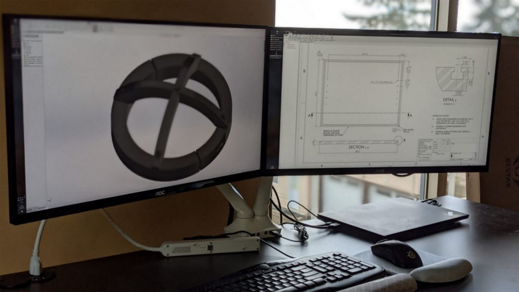
Solidworks Modelling and Engineering Drawing Creation
Ocean Dynamics Inc. has project managed a variety of marine infrastructure installations both floating and sub-sea. From small projects on the coast of British Columbia, to complex offshore seabed installations, ODI can bring many years of experience and support for their clients.
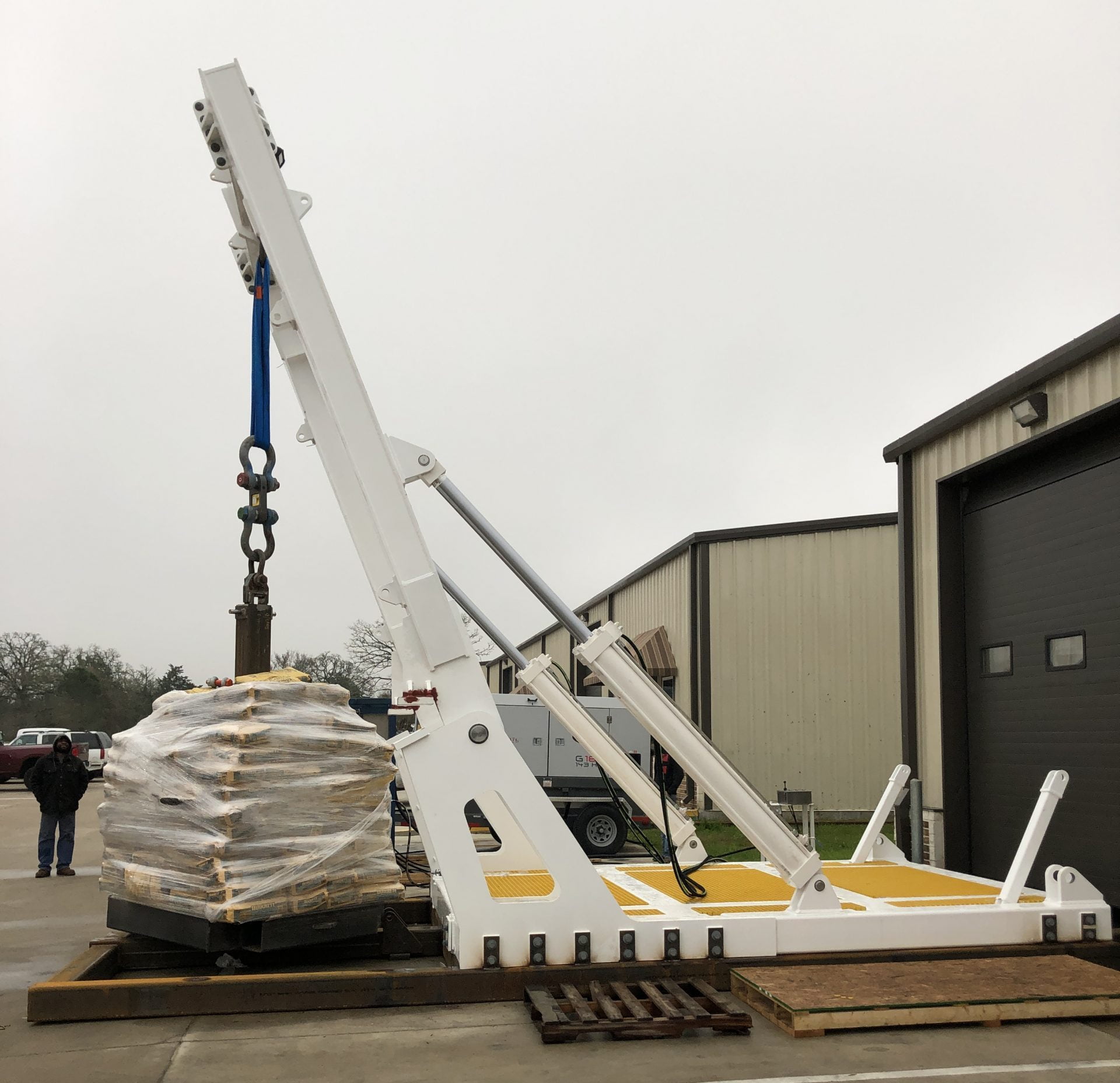
ROV A-Frame design and build project managed by Ocean Dynamics
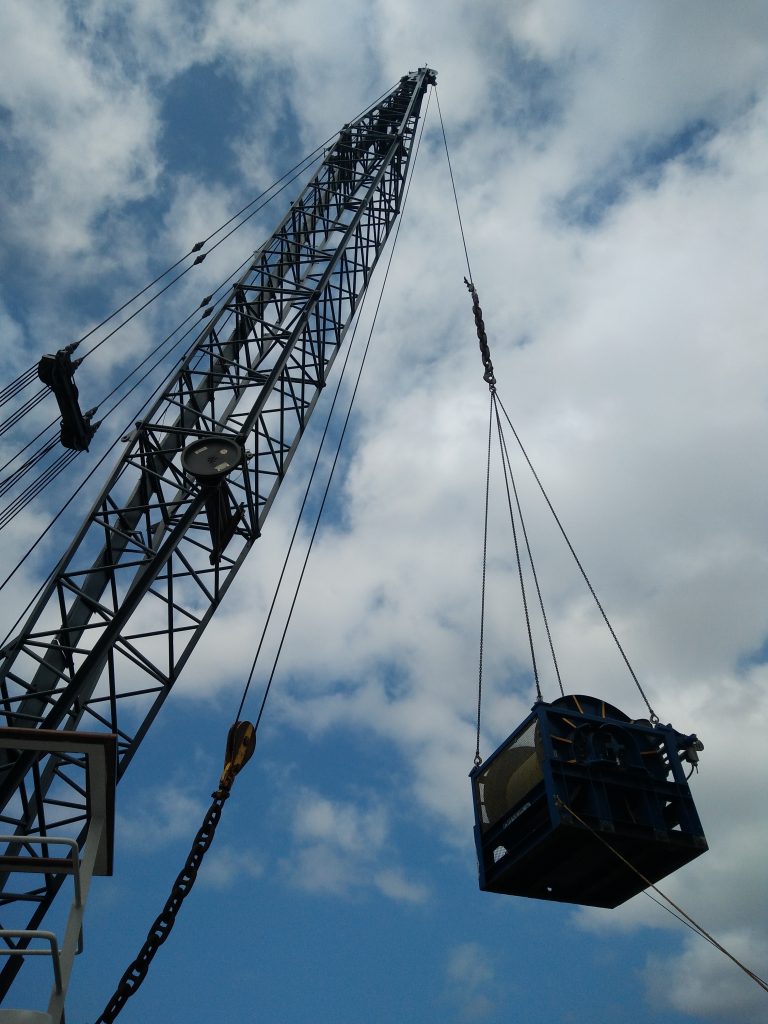
Winch removal/reinstall and cable spooling project managed by Ocean Dynamics

OFFICE LINE
1-250-897-4995
OFFICE LINE